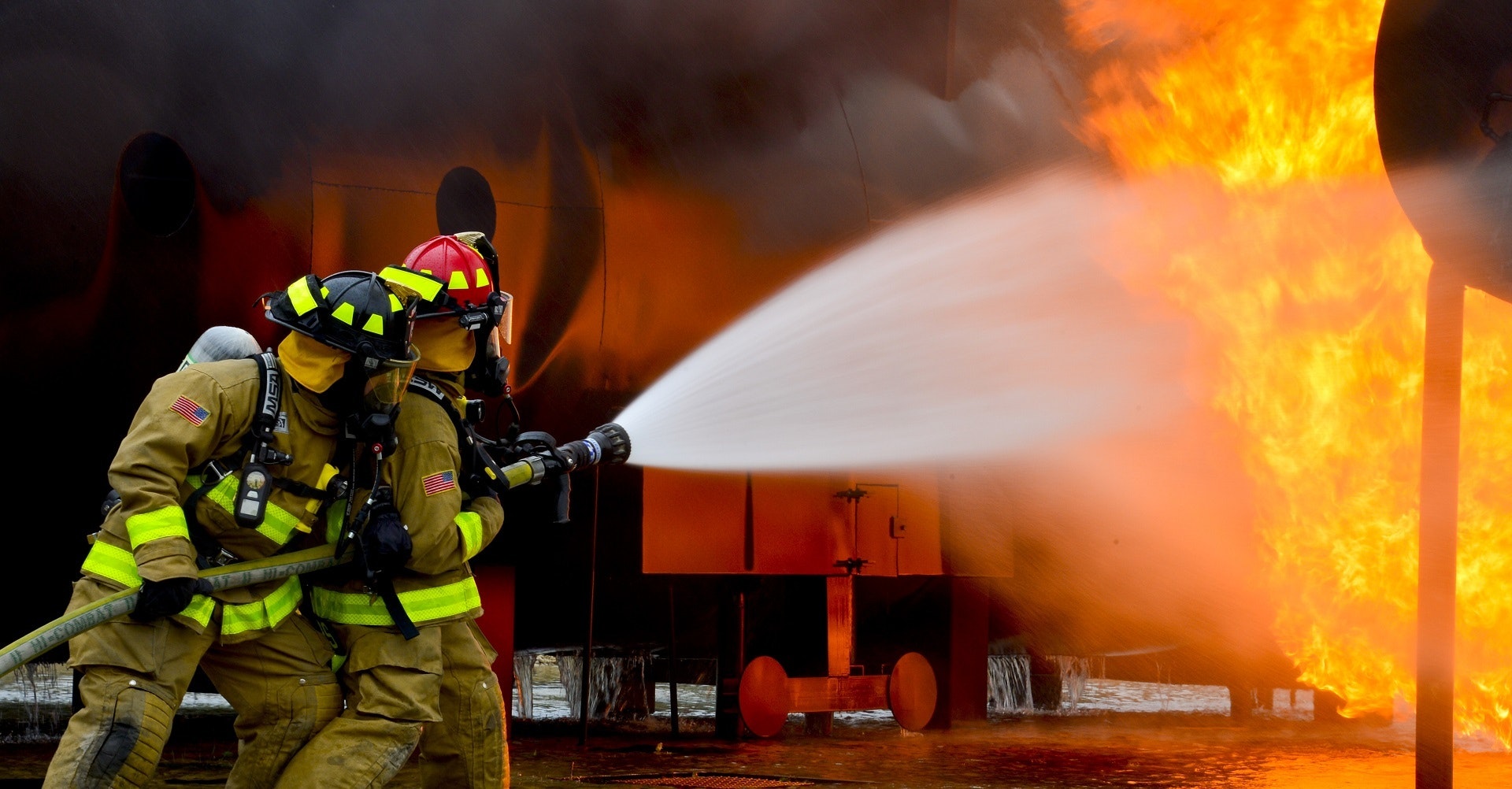
How We Help You To Manage Wildfires
An overview of how our real-time firemapping system can help you deliver more powerful firefighting services
What is the Fire Flight System?
What does it do?
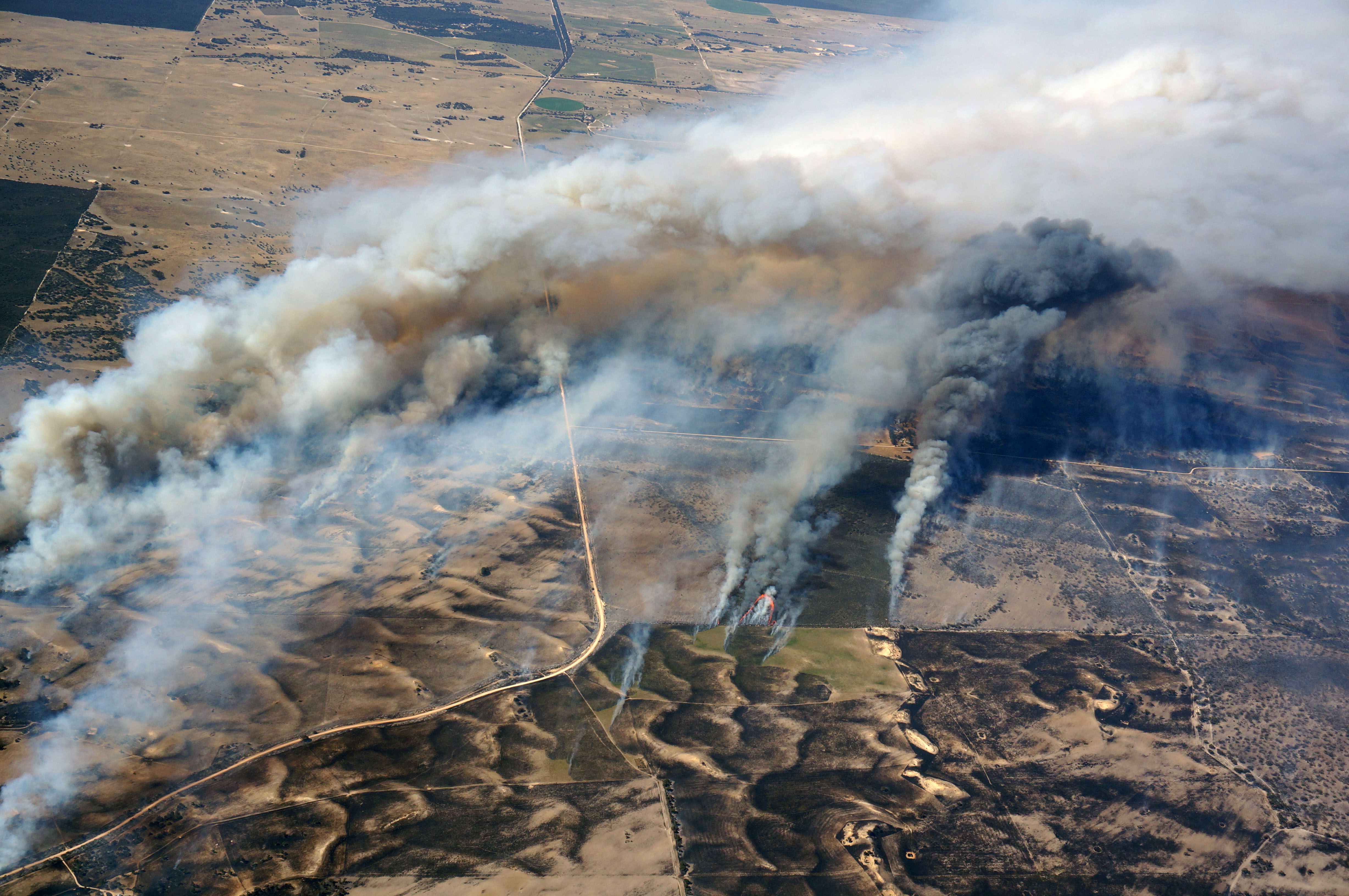
Fire Flight is a new airborne fire mapping software, providing real-time fire information (active fire data), like maps, and post-fire hotspot maps. We ship the system from Australia and operated by local pilots in fire danger regions worldwide, and it is cheap to deploy and easy to use.
Who uses it?
Fire managers, fire agencies and other relevant stakeholders greatly benefit from this real time data. It has been operated in the US, Australia and Indonesia during the past two years.

How does the Fire Flight System work?
The Fire Flight system uses thermal sensors connected to a GPS and computer, and mounted in light aircraft. The flight management software which ties the system together provides pilot navigation, camera control, thermal imagery, data communication and real time image interpretation.
How do we gather the data?
Software on our ground-based servers receive the fire maps from the aircraft, combines them with other useful geographic information, and makes the result available on a secure website.
Why is the system designed like this?
What traditional firemapping systems are like?
The traditional approach to fire mapping is to have a small number of high value assets: large aircraft with imaging systems worth hundreds of thousands of dollars.
How is our system different?
Our philosophy is different: we believe multiple low cost fire mapping systems, geographically spread over a wide area, can be more effective than a few expensive fire mapping systems with limited geographical coverage. And by having many more systems available, the impact of system or aircraft failures is greatly reduced.
The Fire Flight system delivers data that is fit for purpose
We collect real time georectified fire maps which are supplied within minutes or even seconds of the flyover. All fire maps are GIS-ready, meaning they can be directly imported into any mapping software, or viewed in any web browser.
See Examples HereHow We Operate
The Fire Flight System is a Service Rather than a Product
We don’t sell the hardware and software to end users, but instead we supply the end user (usually fire agencies) with data from the Fire Flight system. This means that end users do not have to be in the aviation business; they can focus on the business of fighting fires.
-
Real Time Firemapping
Georectified fire maps (GeoTiff, KMZ) are available minutes or even seconds after data acquisition.
-
Post-Fire Hotspot Detection
Post-fire mapping can take place any time after the fire has passed, to detect any remaining hotspots.
-
24/7 Coverage
Our system can be flown at any time, day or night. And of course it can see through smoke, which means that we can provide data exactly when it is required.
Our Supporters
Fire Flight is currently supported by the following organisations.
South Australian Government
Department of Innovation and SkillsFireFlight has received support from the Government of South Australia through the FIXE Go2Gov program, which connects South Australian startups with business opportunities arising from public sector agencies.

Innovation & Collaboration Centre
Business incubator at UniSAThe Innovation & Collaboration Centre is the University of South Australia’s startup incubator. The ICC engages with the community through programmes which draw on the research and expertise of UniSA and partners, to support new startups and the growth of existing companies.
The Sir Ross & Sir Keith Smith Fund
Independent funding bodyThe Sir Ross & Sir Keith Smith Fund was established in 1986 by Lady Anita Smith, widow of Sir Keith Smith, for the “advancement in the State of South Australia of the science of aeronautics and of education therein”. Fire Flight is a recipient of funding from this fund.
Looking for New Operators
We are currently looking for new operators of the Fire Flight system in fire danger regions worldwide, where we don’t already have systems deployed. Operators must meet a strict set of criteria, including having unrestricted access to a suitable aircraft, and a willingness to work closely with local fire agencies.
Contact Us