Australian bushfires. They are more intense, more widespread, and frequent and sometimes are too big to fight off resulting in millions of dollars worth of damage, loss of wildlife and people.
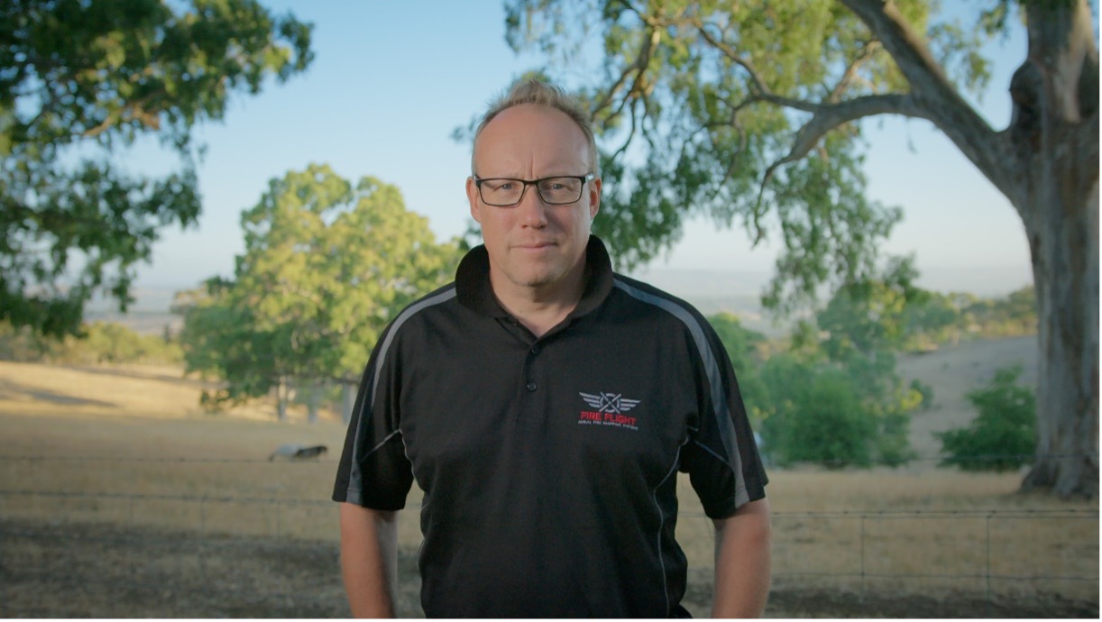
Dr. Paul Dare talks about the need for innovations and fire mapping like FireFlight in the TV debut for Advancing Australia at 6 pm on Channel 10 & 10 play on demand. Go ahead and watch the teaser below.
What is the FireFlight System?
The FireFlight system develops accurate real-time wildfire maps to people on the ground, such as firefighters. This crucial information helps saves lives, property, wildlife, and the environment by planning firefighter activities and deploying firefighting resources effectively.
The FireFlight system uses thermal camera imaging and GPS tracking technology which attaches itself to manned aircraft. These aircraft are used to scan and detect wildfires while GPS technologies calculate the precise location of those fires. The software onboard the aircraft converts these images into an easy-to-understand map and instantly sends these maps to users, such as firefighters on the ground.
Don’t forget to tune in this Saturday at 6 pm on Channel 10 and 10 play, and watch FireFlight founder Dr. Paul Dare in action as he works to make firefighting better and safer for all.
For more information about the FireFlight system and how it can help you and your team fight fires, see our fire case studies or please contact us.