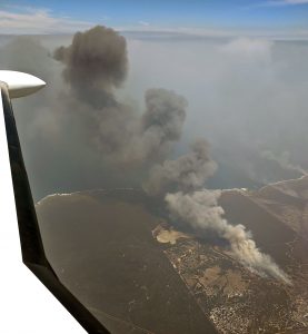
The Kangaroo Island fire was one of the many devastating fires to hit Australia in the summer of 2020. The loss of vegetation, property, wildlife, and even two lives, were unprecedented for Kangaroo Island. Such was the level of destruction that the fire made global headlines for many consecutive days.
When the fire broke out, the team at FireFlight Technologies deployed a fire mapping system to Kangaroo Island within hours to support multi-agency efforts to help fight the fires. The data was provided to the Australian Army, and quickly became a crucial contribution to early intelligence gathering that helped the Army to plan and execute its recovery and relief operations, in support of emergency services and local communities on the island.
A summary of the operations undertaken on Kangaroo Island can be downloaded here.
Stokes Bay – 8th January 2020
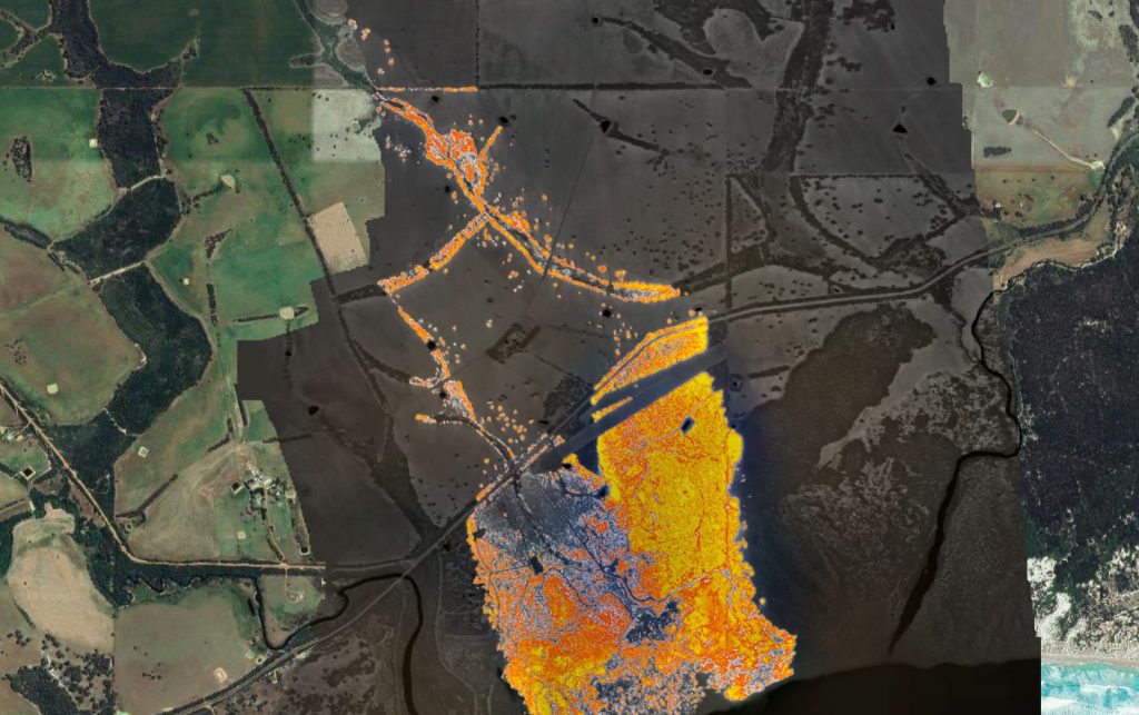
On the 8th January 2020 fires were burning in multiple locations across Kangaroo Island. Approximately 10km south of Stokes Bay, fires had entered managed forestry plantations, where strong winds and poor ground access made the fires difficult to fight from the ground. Numerous air attack aircraft were fighting the fires from the air.
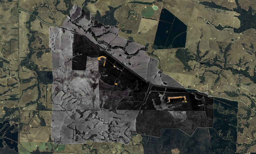
The FireFlight fire mapping system was flown high (10,000 feet AMSL) over the active fires, and created maps in real time. Those fire maps, overlaid on Google Earth data, are available here:
Stokes Bay at 1230ACDT 8th Jan 2020
Vivonne Bay – 9th January 2020
On the 9th January 2020, a moderate wind from the north pushed the fire towards Vivonne Bay. The town and nearby region had already been evacuated. The two images below show the fire three hours apart, at 1400 (2pm) and 1700 (5pm) local time. These images clearly show the extent to which the fire moved and grew in that short period of time.

These images are displayed, overlaid on Google Maps, via the links below:
Vivonne Bay at 1400ACDT 9th Jan 2020
Vivonne Bay at 1700ACDT 9th Jan 2020
Stun’sail Boom – 9th January 2020
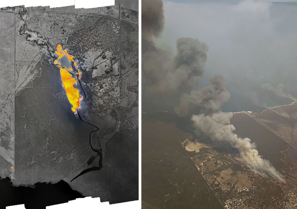
Imagery was acquired over a fire burning at Stun’sail boom, west of Vivonne Bay, at approx. 1345 ACDT (1:45pm local time) on the 9th January. The image below shows the thermal heat signature of the fire from the FireFlight system, as well as a handheld photograph taken from the acquisition aircraft at 10,000 feet. The smoke plume from the fire rose to well over that height and subsequently began to create it’s own weather systems (pyro-cumulous clouds).
The fire maps of the Stun’sail Boom fire are available here:
Stun’sail Boom at 1345ACDT 9th Jan 2020
About the FireFlight fire mapping system
The FireFlight aerial fire mapping system has been developed by Spatial Scientific Pty. Ltd., an Adelaide (Australia) based spatial technology company. Important features of the FireFlight system include:
- A combination of thermal imaging cameras with high precision GPS and advanced data processing software.
- Specifically designed for use on manned aircraft and helicopters (we do not use drones at this stage, and we do not fly drones near fires).
- An ability to map fires in and deliver data (such as that shown above) in real time. Data is available within one minute of being acquired.
- The FireFlight system is cost-effective: it can be deployed on multiple aircraft, each positioned in high fire danger zones.
- Although developed in Australia, the FireFlight system can be deployed worldwide.
Please contact us for further information. An information sheet describing the FireFlight system is available here.
